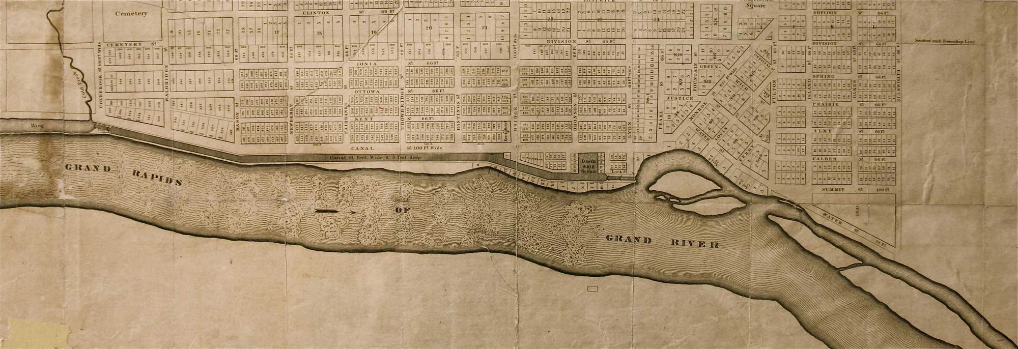
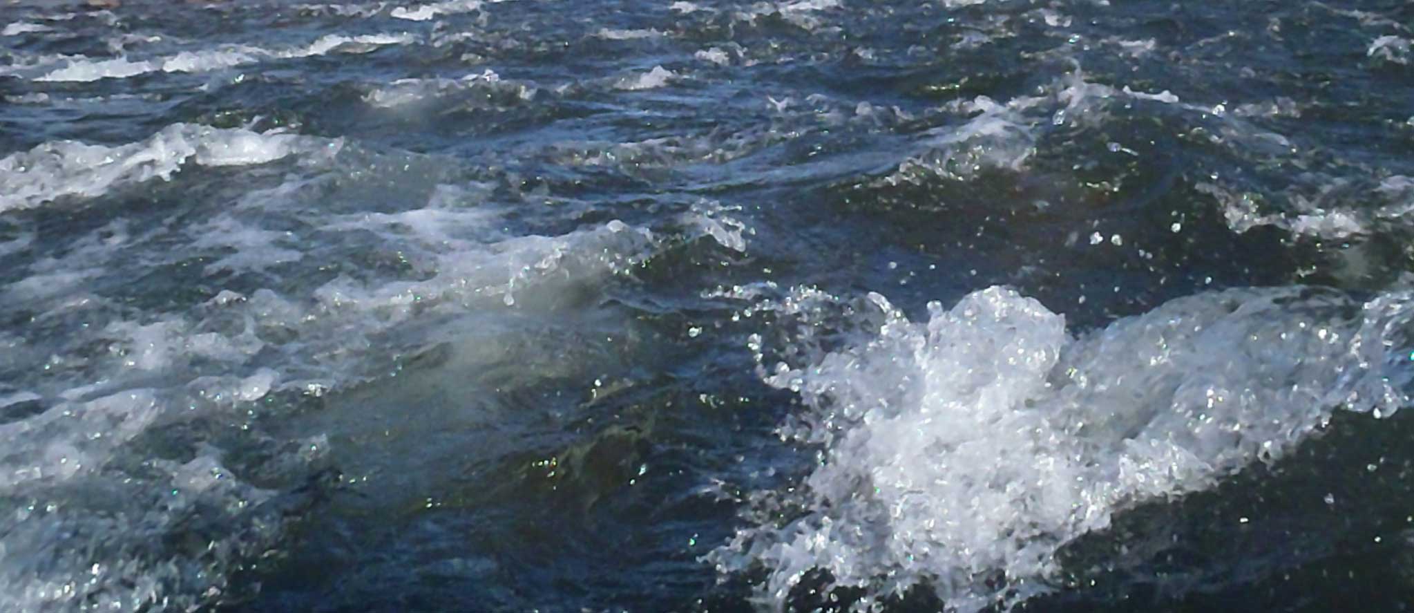
Grand Rapids, Michigan. Our city was given its name for a reason, because once, long ago, we actually had natural, free flowing whitewater rapids. There is now an important opportunity before us to restore these namesake rapids to the Grand River for everyone to appreciate and enjoy as the deserved focus of our city.
In 2009, the City of Grand Rapids invited the community to participate in a unique process updating the master plan. This new, innovative approach was named Green Grand Rapids. Citizen participation in Green Grand Rapids was designed to inform policy makers, city staff, nonprofits and various interest groups about those things that are important to citizens. Public input has successfully guided how we can use our infrastructure and what the green priorities should be. This was a ‘grass roots effort’ and from it, Grand Rapids Whitewater emerged as a 501c3 non profit to act as champions for the restoration of our most important natural asset. Overwhelming community support moved the idea to the forefront and in 2012, after a lengthy public process, the city commission adopted the Green Grand Rapids master plan update into the City Master Plan as an amendment. We have before us now, an opportunity to make positive, sustainable social, economic and environmental change.
“We will succeed in making our most important natural feature – the Grand River, increasingly visible and usable by converting older riverfront industrial sites to parks and new development that welcome people to the river’s edge. We will recreate the rapids in the river as a reminder of our heritage.”
– Green Grand Rapids (2012)
As we explore the potential of this proposed legacy project, the community and GRWW seek to remove or modify the dams*, and enhance the channel bed and banks, and to restore the ecological, cultural and recreational functions of the historic rapids. Diversification is the major theme of the Grand Rapids Restoration plan. Diversification of the currents, habitats and recreation use can be achieved through enhancements to the channel bed. The diversified channel will spread out the use, as well as maximize the economic benefits of fishing, whitewater, and aesthetics. Diversification is also the key to stream health as the life cycles of species that evolved with the river can be maximized in a complex and diverse environment.
Goals include;
- Install water quality and habitat enhancements
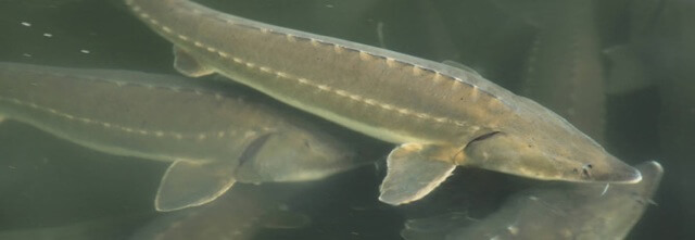
- Connect historic sturgeon spawning habitat
- Improve access and recreational opportunities for residents and visitors
- Enhance natural aesthetics and riparian function of the riverfront
- Attract tourism, business and employment opportunities
- Create access to natural areas for under represented community members
- Invigorate the cultural significance of the rapids
- Implement a plan a comprehensive plan for watershed and green infrastructure issues
- Generate a stewardship ethic for the river through education and outreach
- As we continue to consult with scientists, watershed experts, engineers and governmental agencies, much is yet to be done.
- Continued public process, community/public involvement assessment
- Additional survey and review of flood impact model
- Fresh water mussel survey
- Baseline condition (P-51 macroinvertebrates, geomorphology) to evaluate impacts of project (biological assessment)
- Finish HEC-RAS modeling
- Dam inspection
- Fish survey
- Detailed hydraulic designs of sea lamprey barrier and USFWS review and comment
- Economic Impact Study
- Hydraulic Ice Analysis
- Climate Change impacts
- Water Quality Monitoring
- Documentation for permit applications
- Baseline Monitoring Surveys
- macroinvertibrates
- substrate (pebble counts, geomorphology survey)
- habitat conditions
Significant restoration of the Grand River in Grand Rapids is achievable. Restoration is expected to have valuable social and economic benefits for the entire community. Further studies will show how the proposed project conforms to major constraints including flood conveyance and sea lamprey control. Restoration of lake sturgeon and fresh water mussel habitats are regionally rare opportunities. Based on concepts, the Grand Rapids Restoration has broad support from the managers and regulators of the river. Compelling community support is being voiced and gaining sustained momentum. A community legacy can be established in restoring the regionally rare functions of the Grand Rapids.
* A new barrier is being studied for implementation upstream as a first line of defense against invasive species and flood conveyance.


