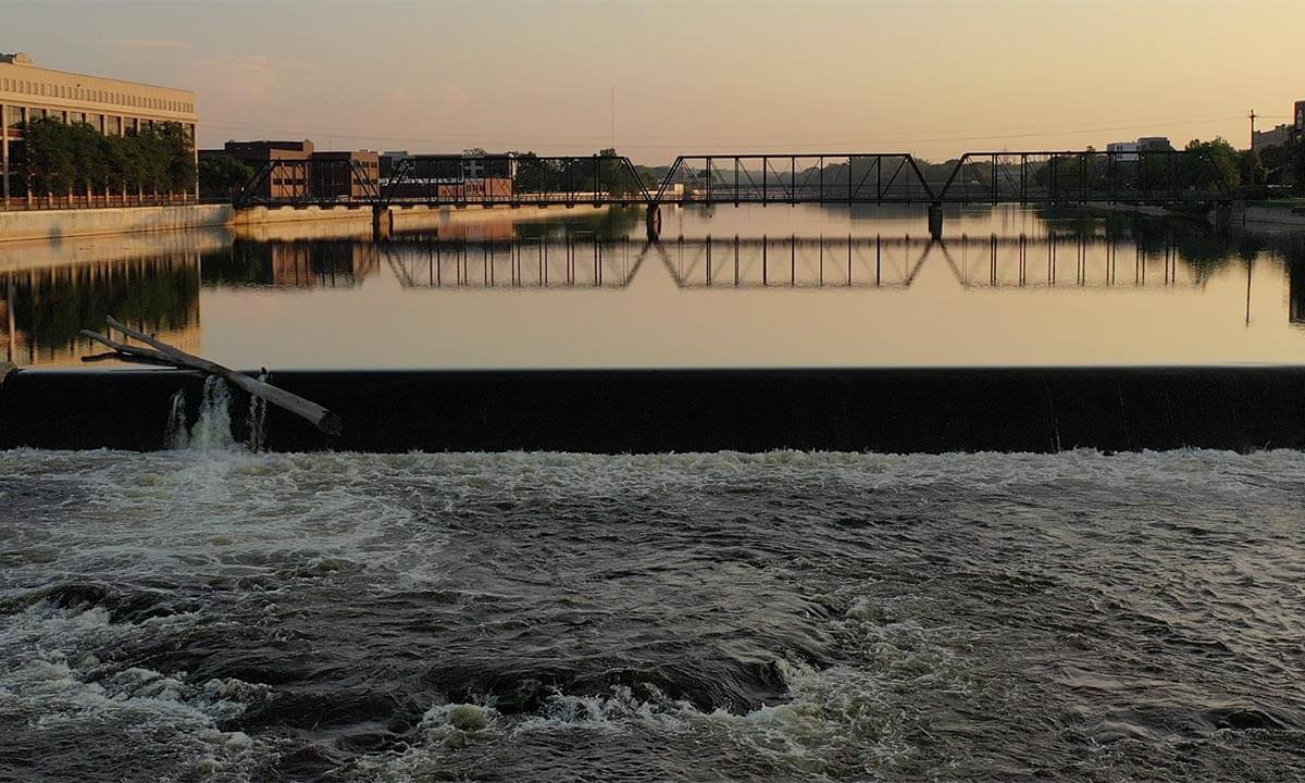
Many people wonder about the quality of water in the Grand River. They wonder whether it is safe to play in, and why the water looks brown and dirty?
Most of the year, the water quality in the Grand River is safe to play in. The river is largely fed by runoff from nearby lands, including streets, fields and yards. The naturally-occurring sediment in the runoff gives the river its brown color, but the sediment doesn’t mean it is unsafe to play in. Occasionally, storms can create runoff which does cause spikes in bacteria, but those concentrations are usually short-lived.
Key initiatives around water quality monitoring, sewer improvements and green infrastructure have all helped improve the quality of the water in the Grand River — ensuring its safety and cleanliness.
Water Quality Monitoring
For more than 40 years, the City of Grand Rapids has sampled water from the Grand River. The City samples river water at multiple points and measures many variables such as pH, dissolved oxygen and E Coli. These measurements are combined into a weighted equation which produces a rating on a scale of 1-100. We call this the Water Quality Index.
A good water quality rating is 70 or higher. In 2019, the average water quality index in the Grand River was 73.
As you can see from the graph below, over time, the quality of the water in the Grand River has increased thanks in part to a community effort in reducing runoff.

See where Water Quality Index measurements are collected.
As the community continues to put an emphasis on activating the Grand River corridor and installing green infrastructure to improve stormwater management, the City saw the need to have increased frequency of water quality data. Therefore, in 2019, the City also partnered with the United States Geological Survey to install a new river level gage and water quality monitoring sonde on the North Park St. bridge to monitor turbidity, dissolved oxygen, specific conductance and temperature. This sonde allows the City and the general public to have water quality data in almost real-time instead of monthly or quarterly data. You can find that USGS data here.
Sewer Improvement Projects
Perhaps the biggest change to improving water quality was the completion of the City’s sewer improvement project. This initiative eliminated all Combined Sewer Overflow (CSO) points in the City’s sewer system.
Combined sewers carry both sewage and stormwater. Engineers designed overflow points to protect sewers from being damaged by heavy flows during large rain events. In doing this, however, overflow points allowed raw sewage to be carried into the river. In 1969, 12.6 billion gallons of raw, untreated sewage flowed into the Grand River.
The initiative, started in 1991, separated storm and sanitation sewers and installed 119 miles of new pipeline throughout the city. The result?
In 2014, zero gallons of raw, untreated sewage flowed into the Grand River.
Green Infrastructure
As part of the sewer improvements, the City also made other green infrastructure improvements, installing:
- Rain gardens (bioswales)
- Porous pavement
- Hydrodynamic separators to remove sediments
- Underground storage and infiltration systems
The green infrastructure allows the rainwater to soak into the earth rather than creating runoff. As water soaks into the ground, it cools the water and naturally filters the water. Without these features, rainwater would flow directly into the river, carrying with it road salts, oil and grease and fertilizers. This influx could cause erosion and temperature changes as it hit the river all at once. [Source]
Looking Forward
Through a grant by the Grand Rapids Community Foundation and funding from the Downtown Development Authority, the City of Grand Rapids, the Grand Valley Metro Council and other partners are working to develop a water quality notification system. The Wege Foundation funded a study by Clean Water Action in 2019 where they conducted conversations with more than 10,000 Grand Rapids residents. This survey found that the biggest barrier for people to recreate in and along the river was the water quality.

Therefore, this team has set out to break down this barrier by providing real-time data in an easy-to-understand format. Much like the flag system at the beach, this system would interpret real-time flow and water quality data and provide a green, yellow or red notification at several access points to the river. This will provide the citizens with a higher trust in the water quality, breaking down the barrier for them to use the river.
As we continue this journey of restoring the Grand River, it’s important to see that the work the City of Grand Rapids has been investing in for many decades is coming to fruition. Separately, projects like the sewer improvement projects, green infrastructure and water quality monitoring are beneficial but, together, significantly shape the future of our community.